
Monte Catria Xtreme Trail, 2024 ed.
Monte Catria Xtreme Trail - Serra Sant'Abbondio, Pesaro e Urbino, Italy. 2024 edition.
Sunday, May 12, 2024 - 05:30
Note: "Monte Catria Xtreme Trail" is NOT organized by goandrace.com
Information about Monte Catria Xtreme Trail, 2024 ed.
Running event name: Monte Catria Xtreme Trail
Date and Time: Sunday, May 12, 2024 - 05:30
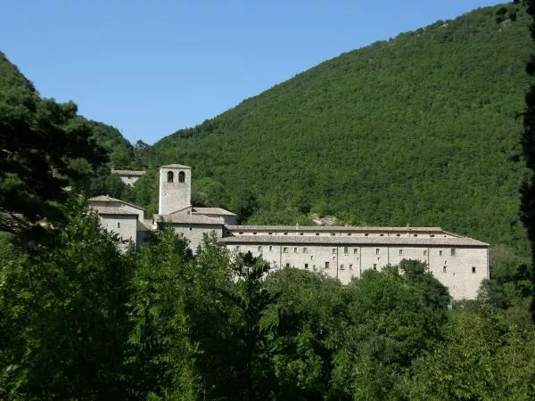
City: Serra Sant'Abbondio
Address: Palazzo Comunale
c/o:
Region: Marche - Province: Pesaro e Urbino - County: Serra Sant'Abbondio
Country: Italy
Latitude and longitude: 43.491749 12.772846
About the event:
Other notes:
Virtual Race? No
Trail? Yes
Cross country event? No
Multi-stage event? No
Initiatives for children and families: No information
How to apply and entry fee:
Award Description:
Dressing rooms:
Aid stations:
Website: www.montecatriaextremetrail.it
E-mail: info.montecatriaskytrail@gmail.com
Facebook: www.facebook.com/montecatriaextremetrail
Instagram: www.instagram.com/montecatriaextremetrail
Flier: Not available
Final ranking: Not available
Monte Catria Xtreme Trail course map, 2024 ed.
| # | Length | Race type | Course map and gpx file | Terrain type | |
|---|---|---|---|---|---|
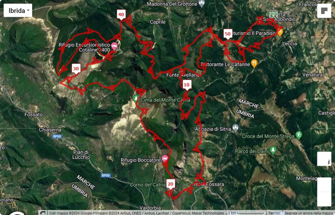
| Race 1 | 53 km (32.9 mi) |
Ultramarathon | 53 km course map 3D video animation of the 53 km path |
Not available | |
| Discover the race route of the Monte Catria Xtreme Trail, 53 km, by clicking on the link or on the map below. Altimetry information. Download gpx file. | |||||
|
|||||
|
3D video animation of the 53 km path | |||||
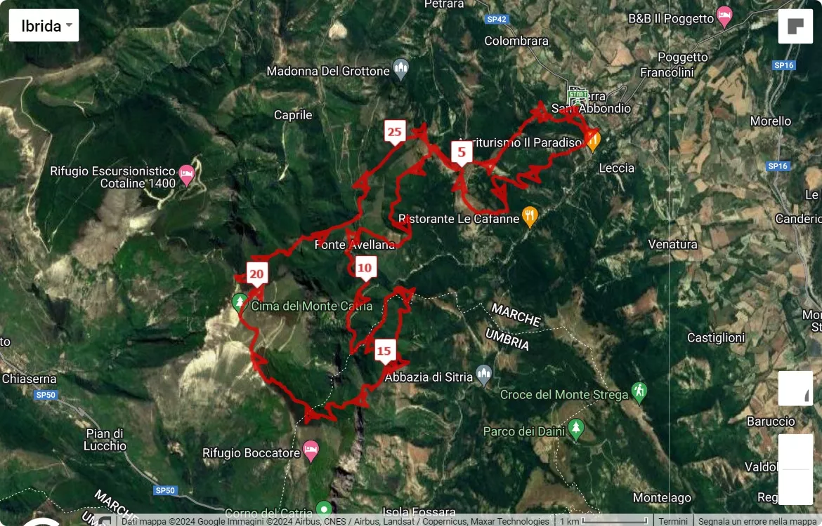
| Race 2 | 30 km (18.6 mi) |
Competitive race | 30 km course map 3D video animation of the 30 km path |
Not available | |
| Discover the race route of the Monte Catria Xtreme Trail, 30 km, by clicking on the link or on the map below. Altimetry information. Download gpx file. | |||||
|
|||||
|
3D video animation of the 30 km path | |||||
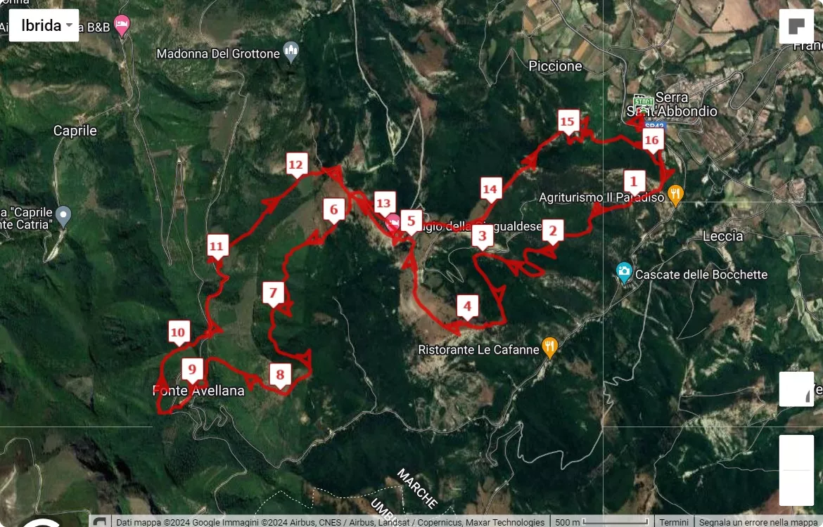
| Race 3 | 16 km (9.9 mi) |
Competitive race | 16 km course map 3D video animation of the 16 km path |
Not available | |
| Discover the race route of the Monte Catria Xtreme Trail, 16 km, by clicking on the link or on the map below. Altimetry information. Download gpx file. | |||||
|
|||||
Serra Sant'Abbondio weather forecast
To see the weather forecast of the Marche region by firenzemeteo.it click on the link or on any of the following maps.
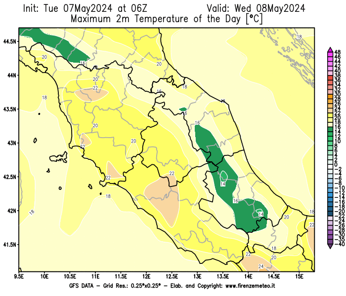
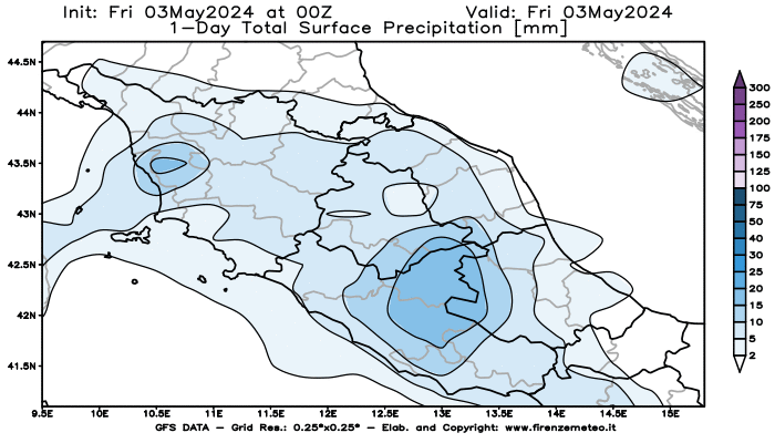
For Serra Sant'Abbondio weather forecast click on the link.
Other nearby races
Events on the same day at a distance of less than 50 km (31 from Serra Sant'Abbondio as the crow flies are reported here.
No running race found within 50 km.
Message for running race organizers
Are you part of the organizing committee of the running event
named Monte Catria Xtreme Trail
and would you like to be the one to manage the information, adding more details?
Register (if you have not already done) and log-in to see here the link to forward the request to Go&Race administrators.
Registration on Go&Race and event management are completely free. There are no paid services on Go&Race.